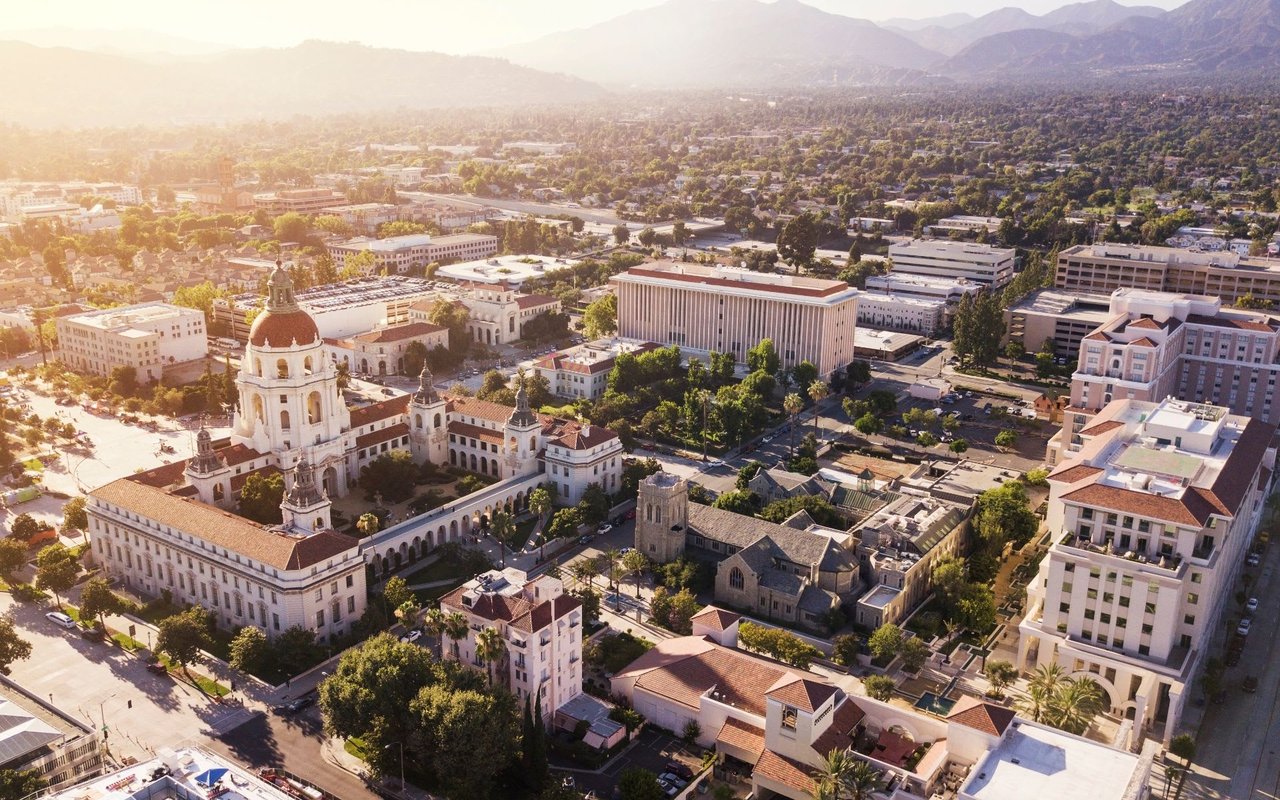
There's an old line about California real estate, often credited to Will Rogers, that goes something like: buy land, because they aren't making any more of it. For sixty years, the fifty acres running through the middle of Pasadena between Old Pasadena and California Boulevard have been the exception that proves the joke wrong. Nobody was buying that land. Nobody could. It sat as a dirt trench, fenced off, waiting for a freeway that was never going to arrive.
That changed this year. On August 24, 2026, the Pasadena City Council reviewed a set of governance recommendations from an Urban Land Institute technical advisory panel, the latest step in turning that trench into a mapped, budgeted, politically negotiated housing corridor. If you're comparing Pasadena to South Pasadena, San Marino, or Arcadia and trying to read past the median price into what actually drives value block by block, this is the story worth knowing. It's a hidden supply pipeline, and it's concentrated in one place rather than spread evenly across the city.
What the Stub Actually Is
In 1964, the California Highway Commission routed the unfinished 710 Freeway through El Sereno, South Pasadena, and Pasadena to connect Long Beach to the 210 and 134. South Pasadena fought the extension for decades and won: the freeway never got built through that city. But Pasadena's northern interchange to the 210 went in during the early 1970s anyway, and construction displaced at least 4,000 residents and destroyed 1,500 homes, according to figures from the Pasadena Department of Transportation. What was left behind, bounded by Union Street to the north, California Boulevard to the south, Pasadena Avenue to the east, and St. John Avenue to the west, became known locally as the Stub, or the Ditch.
Metro's board rejected a tunnel option in 2017, and Caltrans discontinued the project outright not long after. Governor Newsom signed SB 7 in October 2019, clearing the legal path to relinquish the corridor. The California Transportation Commission voted to hand the fifty acres back to Pasadena on June 29, 2022, along with a $5 million payment, and the city took ownership that August. That's the moment the story stopped being about a freeway that would never be built and started being about what to build instead.
The Momentum Is Recent and It's Real
Momentum on this corridor has moved fast in 2026, faster than almost any other planning process in the city right now:
| Date | Milestone |
|---|---|
| April 2026 | Council adopts the Reconnecting Pasadena vision plan, consultant Perkins Eastman, sets a goal of at least 1,800 residential units |
| June 2026 | Council unanimously approves ten Restorative Justice principles, including $150,000 remuneration payments and a 25 to 30 percent affordable housing requirement |
| July 2026 | City officials study San Francisco's Presidio governance model |
| August 24, 2026 | Council reviews ULI panel recommendations on who should govern decades of redevelopment |
| Early September 2026 | Planned study trip to Denver Union Station |
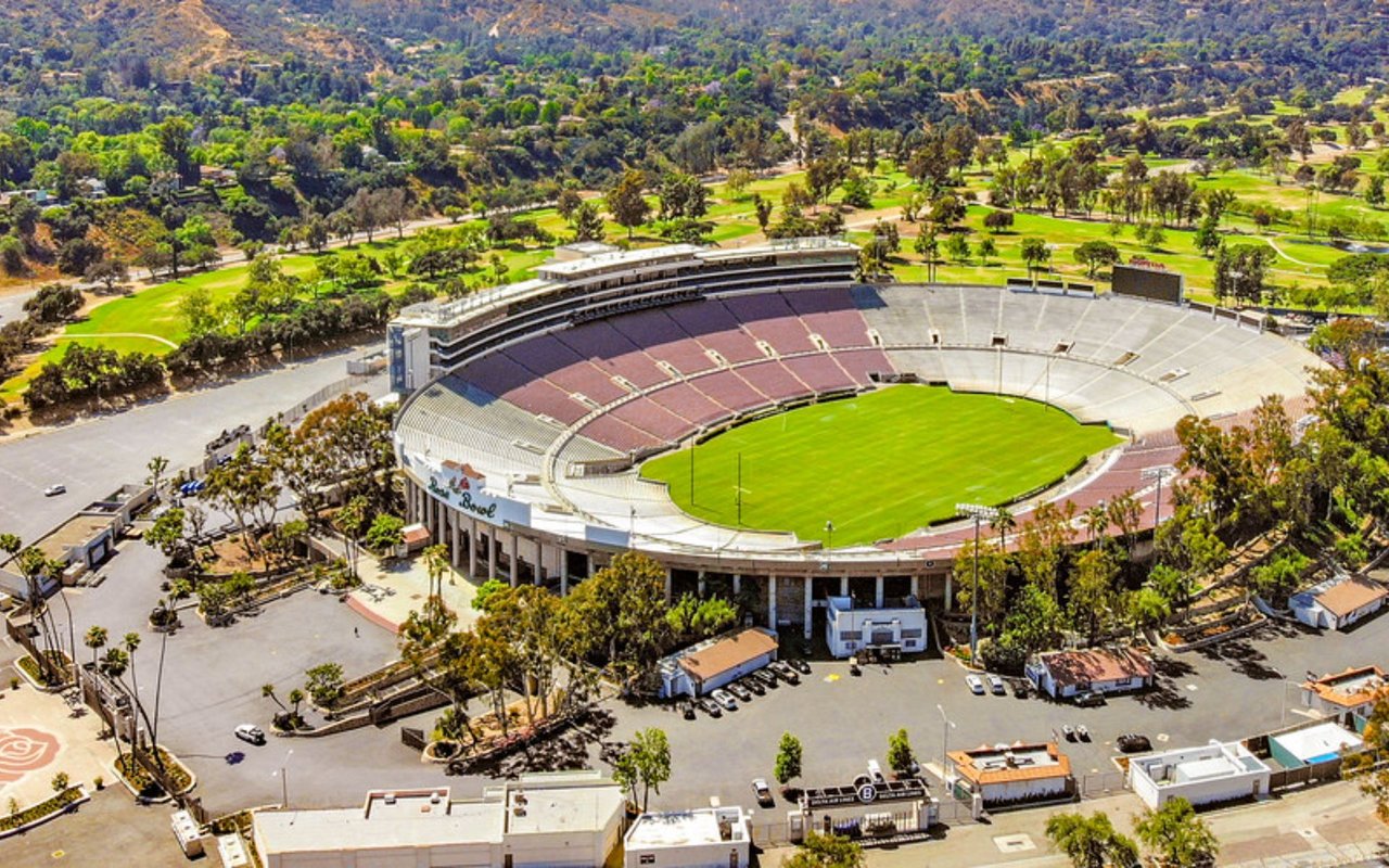
The preferred street concept, called "Boulevards & Paseos," would convert St. John Avenue and Pasadena Avenue from one-way to two-way streets, add a roundabout near Holly Street to calm traffic entering from the 210 and 134, and build a new north-south boulevard where the freeway stub used to run. None of this is finished. A Specific Plan and full environmental review still have to happen before a shovel goes in the ground. But the governance question, who actually runs a project meant to unfold over decades, is no longer theoretical. The ULI panel looked at precedents including the Seattle Waterfront, Denver Union Station, Battery Park City, Nashville's East Bank, and the Presidio, and noted that Pasadena already has experience running separate governing bodies through the Rose Bowl Operating Company and the Pasadena Center Operating Company.
The Number That Changes How You Read the Median
Here's the part that matters if you're trying to understand Pasadena's housing market rather than just its list price. The city's Housing Element requires planning for 9,429 new units by October 2029, split across income tiers from very-low to above-moderate. The 710 Stub's vision plan targets at least 1,800 of those units on one fifty-acre corridor. That's roughly one in five of the city's mandated units aimed at a single, city-owned stretch of land rather than distributed parcel by parcel through existing single-family neighborhoods.
That concentration cuts two ways for anyone weighing where to buy. Streets closest to the corridor, particularly the stretch between Colorado Boulevard and California Boulevard where the plan calls for commercial density stepping down to lower-density housing near the southern end, are likely to see the most direct change in what gets built around them over the next decade. Established single-family neighborhoods elsewhere in the city still carry their share of the citywide mandate, but a chunk of the pressure that might otherwise land on infill lots in those neighborhoods has a dedicated outlet here instead. Councilmember Rick Cole, in a July 2026 interview with The Planning Report, described the city's intent to keep public ownership of the land and use 99-year ground leases rather than sell it outright to developers, which means the city stays the landlord on this corridor indefinitely rather than a private owner who might resell.
What's For Sale Right Now, and the Catch
Separate from the fifty-acre Stub plan, the city has also been unwinding smaller vacant Caltrans-owned parcels scattered nearby, acquired under state legislation SB 959, which requires three affordable units be funded for every Caltrans unit purchased. Seventeen of these individual lots, including addresses on St. John Avenue and Palmetto Drive, began hitting the market in late 2025, with four smaller non-historic properties earmarked as affordable housing sites and the remaining thirteen going to brokers at fair market value.
If you're the kind of buyer looking at one of these specific parcels rather than the corridor as a whole, know the terms before you get attached to a lot: The Real Deal reports that the properties are sold as-is, carry deed restrictions, and require the buyer to repair the property and get it ready for occupancy within a reasonable timeframe. Sale proceeds have to go toward affordable housing by December 31, 2026, which is the kind of deadline that tends to move a public seller's calendar faster than a typical private transaction.
Reading This Against the Neighboring Cities
Anyone cross-shopping Pasadena against South Pasadena or San Marino has probably already noticed those cities don't have anything comparable to the Stub. South Pasadena fought off the same freeway extension decades ago and never inherited fifty acres of city-owned land to redevelop. San Marino has essentially no vacant municipal land bank of this scale either. That difference matters less for today's comparison and more for the next ten years of it. Pasadena has a mapped, multi-phase mechanism for absorbing a meaningful share of state-mandated housing growth in one corridor, with the city itself as the long-term landowner. Neighboring cities without that mechanism will meet the same state housing pressure through more dispersed, harder-to-predict changes to their existing single-family stock.
None of this means prices on any particular street are about to move in a predictable direction. The Specific Plan, environmental review, and selection of a development authority are all still ahead, and the city's own timeline still points to vertical construction being years away, not months. What it does mean is that the usual scarcity story, the idea that Pasadena simply isn't making more land, has a real exception sitting in plain sight between Old Pasadena and California Boulevard. Anyone comparing this market to its neighbors should be pricing that exception into the comparison, not ignoring it.
Quick Answers
When will homes actually get built on the Stub? Not soon. The city is still working through governance structure, a Specific Plan, and environmental review. Vertical construction is realistically years out.
Will this lower home prices nearby? It's too early to say with confidence. Added density near Colorado Boulevard could ease pressure on buyers seeking newer product in that immediate corridor, while the plan's step-down to lower-density housing near California Boulevard suggests the change closest to established single-family blocks will be more gradual.
What about the 17 Caltrans lots that came on the market? Those are separate from the Stub's fifty-acre vision plan. The lot terms and deadline are described above.
If you're weighing a purchase near this corridor, or trying to figure out how a specific street's proximity to the Stub might shape its trajectory over the next several years, that's exactly the kind of hyperlocal read The Middleman Team does for clients across Pasadena and the San Gabriel Valley. Request a Free Home Valuation and we'll walk through what's actually happening on your block, not just the citywide headline.
This article is general information, not legal, tax or financial advice. Consult a qualified professional about your situation.